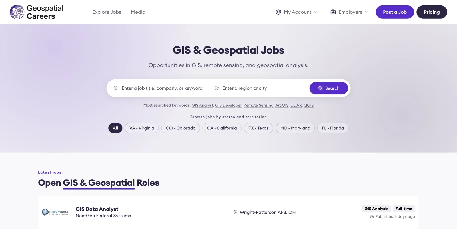
Maps are one output of geospatial work; spatial datasets, imagery analysis and software are others. GeospatialCareers brings geospatial jobs together in the United States for GIS analysts, developers, remote sensing specialists and related data professionals. The shared focus is information tied to place.
Employers can advertise one spatial data appointment on GeospatialCareers or select a pack of job credits. Automated job posting adds connections to more than 50 ATS platforms, offering a software-linked publishing route for relevant GIS, mapping and remote sensing vacancies. Employers can address a specialist spatial audience through the route that fits their recruitment activity.
GIS development and analysis sit alongside photogrammetry and remote sensing. Data science and project management fit when spatial information is central to the deliverables. Interpreting imagery, developing a GIS application and managing a mapping workflow produce different outputs, giving spatial data expertise both analytical and software-oriented paths across projects whose deliverables depend directly on geographic information. Spatial analysis links these paths through the use of geographic relationships. The board's US remit gives candidates a defined market in which to compare technical responsibilities, applications and the kind of geospatial output an employer needs.